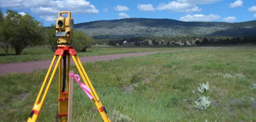
• New boundary survey
• Sudivisions
• Opening boundaries
• Land title acquisition
• Land transfers
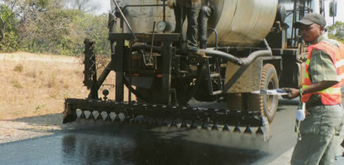
• Highway Engineering design
• Power line route surveys and design
• Structural design
• Supervision of Civil and Electrical
Engineering works
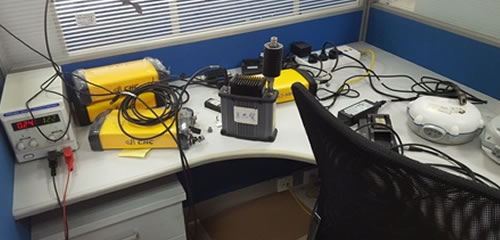
• ICT policy formulation
• Application Development (programming)
• Networking & Internetworking
• Databases
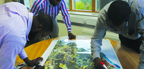
• Land use management; Structure Plans, Detailed Plans
• Water plan developments
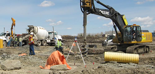
• Contouring and Digital Elevation/Terrain Modeling (DEM, DTM)
• Road alignments and setting out
• Water works
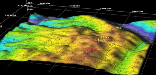
• Mapping using the different ArcGIS suit applications and other software
• ArcGIS Suite of applications
customization
We offer services in Land Surveying, Geographical Information System (GIS), Information and Communication Technology (ICT) and Physical Planning services to a wide range of clientele in both the private sector and Government.